A key weather model just received a major upgrade and it could be a game-changer for this year’s hurricane season.
The National Oceanic and Atmospheric Administration (NOAA), the government organization that manages the National Weather Service, had a big announcement this week. They have completed a major upgrade on their primary forecasting tool, the GFS (Global Forecast System) model, sometimes known as the “American” model.
Thousands of weather forecasters use this computer simulation of the atmosphere every day. It’s vital not only to telling you your weekend weather; it’s also used by emergency managers to track hurricanes and blizzards.
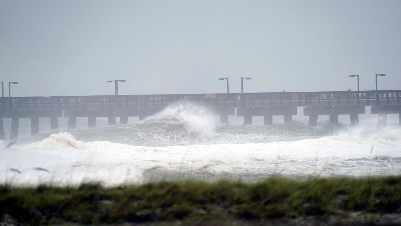
Waves crash in Gulf Shores, Alabama. (Gerald Herbert/AP)
One of the biggest improvements announced will have a direct impact on forecasts for this hurricane season. NOAA has paired the GFS model with wave simulation modeling software.
Wave forecasting models predict the height and speed of ocean waves and are key in tracking the effects of hurricanes and nor’easters. This improvement allows wave forecasts out to 16 days, extended from the previous 10 days.
Another improvement NOAA announced was the increase in the use of weather data gathered by satellites and from commercial aircraft. These temperature and moisture observations will be used in the GFS weather model to provide better forecasts.
To test the new version of the model, forecasters replayed part of the 2018 hurricane season and all the weather from May 10, 2019 through early 2021. They compared the new GFS model to the actual weather and to what the old version of the model predicted. They observed marked improvements in snowfall prediction, heavy rain forecasts, and better lead time in tropical development.
.jpg)
Being able to forecast the formation of tropical storms and hurricanes earlier could make a big difference in the coming tropical season, especially after last year’s record-setting 30 named storms. This upgrade is part of a series of improvements that began after Hurricane Sandy. The GFS model performed poorly during that event compared to the main “European” model. This prompted NOAA to begin a series of enhancements to upgrade their forecasting ability.