Tropical Storm Idalia formed off the Yucatan Peninsula midday Sunday.
It will accelerate north-northeast across the Gulf of Mexico on Monday and Tuesday before approaching the U.S. mainland midweek. During this time, it’s forecast to become a hurricane, putting parts of Florida on alert.
Florida Gov. Ron DeSantis declared a state of emergency for 33 counties on Saturday to prepare for the expected tropical system.
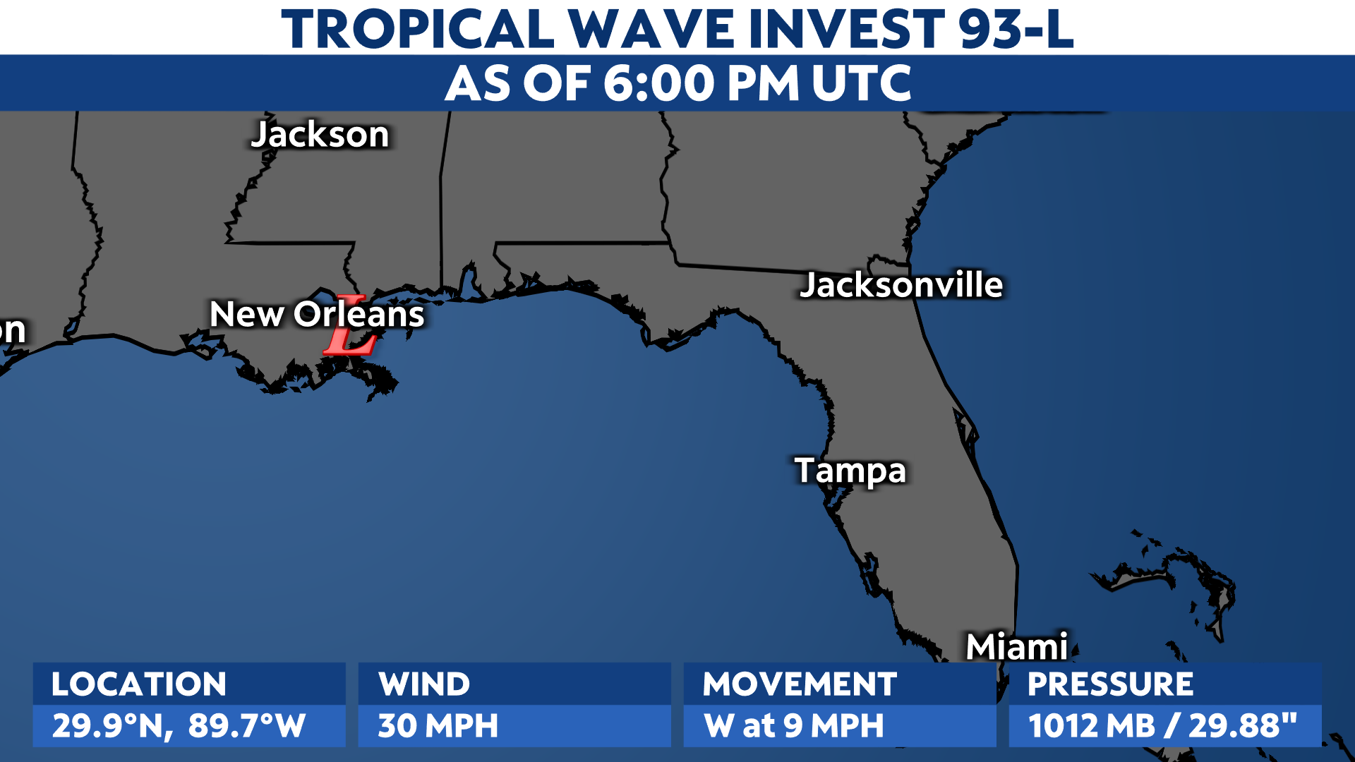
The storm is located about 80 miles east-southeast of Cozumel, Mexico, producing top sustained wind speeds of 40 mph.
Showers and thunderstorms associated with it are slowly becoming more organized, and favorable environmental conditions will fuel its intensification in the next few days. It should strengthen into a hurricane on Tuesday as it heads north-northeast across the Gulf.
The exact path of this system and the intensity of its impacts are still in question, but the latest data suggest this system will make landfall somewhere along the northern west coast of Florida by midweek as a strong tropical storm or hurricane.
We talked to Spectrum News Bay News 9 meteorologist Diane Kacmarik on Saturday about the potential impacts Florida could see.
“Rain totals will be sharply different from east to west. The highest totals will be along the west coast of Florida, inland areas will have less,” said Kacmarik.
She also added, “High astronomical tides will be happening through midweek. So storm surge will be more impactful.”
Computer forecast model guidance agrees that it will affect Florida and parts of the Southeast this week.
Spaghetti models show it tracking up from Florida to the Carolinas. However, there is uncertainty about where its eventual path will be. Floridians should stay updated with Spectrum News as details become clearer.
Several reconnaissance flights will investigate this system, giving a better idea of what’s happening and helping computer forecasts get more data to clarify what may come.

Spaghetti models or plots show a series of individual computer forecast models together on one map. They are useful to give insight into whether multiple models are in agreement on the path of the storm, but they do not address the storm’s forecast intensity, winds, flooding and storm surge potential or other data. Tap here for more details on how to best use these models.
Tropical Warnings and Watches are in effect for the Yucatan Peninsula of Mexico from Tulum to Rio Lagartos and parts of Cuba, including the provinces of Pinar del Rio and the Isle of Youth.

Check here for a look at the 2023 Atlantic hurricane season so far.
Our team of meteorologists dives deep into the science of weather and breaks down timely weather data and information. To view more weather and climate stories, check out our weather blogs section.