Storm surge is one of the primary threats when hurricanes make landfall, and there are a lot of factors involved in how high the surge can get. Some of those factors include wind speed, minimum pressure and movement direction relative to the coast.
One of the lesser known factors, and one we can’t see, is the underwater seabed topography, or bathymetry, leading up to the coast.
A map of the underwater terrain would look the same way as a topography map showing elevations of mountains and valleys on land.
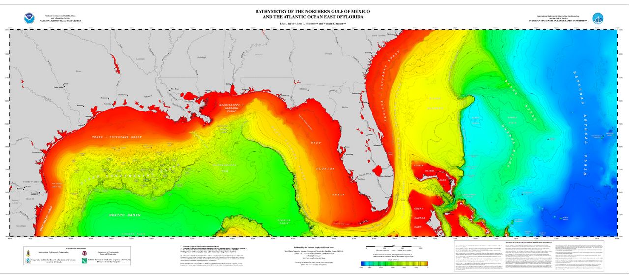
Here is a bathymetry map of the northern Gulf of Mexico and parts of the southeast Atlantic coast. The warmer colors show a shallow seabed, and cooler colors show deeper waters.
Bathymetry of the northern Gulf of Mexico and the Atlantic Ocean east of Florida. (NOAA)
Some notable areas with a shallow, more gradual slope to the coast include the west coast of Florida and the Apalachee Bay, and areas offshore around the Louisiana and Texas border.
Areas that have a steeper slope include the South Florida coast, and smaller areas offshore of Pensacola and Corpus Christi.
Slope of the continental shelf
Predicting storm surge is complex because it is sensitive to the slightest changes in any of the factors listed earlier. The width and slope of the continental shelf leading up to the coast is one of those factors that plays an important role, but it’s hard to visualize, since we can’t see it.
A shallow continental shelf with a gentle slope toward the coast allows a storm to produce a greater storm surge. This is why some areas around south Louisiana and the Florida Gulf Coast are so prone to dangerous storm surge.
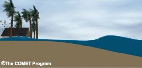
Surge animation with a shallow continental shelf. (NOAA)
An area with a steep shelf and deep water offshore, however, isn’t as prone to storm surge. According to NOAA, a Category 4 storm hitting Louisiana that could produce a 20-foot storm surge might only produce a storm surge of 8 to 9 feet in a place like Miami Beach, Fla.
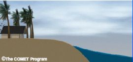
Surge animation with a steep continental shelf. (NOAA)
This is because water can get displaced in more directions, like downward, with deeper water. In a shallow area, the only place for a storm to push the water is inland.
We saw this in August 2023 in Steinhatchee, Fla., when Category 3 Hurricane Idalia moved inland, producing storm surge up to 7 feet in some areas.
Next time a storm is approaching, consider all factors when preparing, and listen to local authorities. You can see your local storm surge risk here.
Our team of meteorologists dives deep into the science of weather and breaks down timely weather data and information. To view more weather and climate stories, check out our weather blogs section.