Subtropical Storm Nicole formed in the southwestern Atlantic on the morning of Nov. 7, becoming the fourteenth named storm of the season.
Nicole became a subtropical storm northeast of the Bahamas on Monday, producing maximum sustained wind speeds of 45 mph. The subtropical storm will drift toward the northwest today, but will then curve toward the southwest on Tuesday, where it will approach the Bahamas.
Nicole is expected to travel over the Bahamas on Wednesday before making landfall along the coast of Florida late Wednesday night or Thursday morning. As it heads west, Nicole is forecast to strengthen and could reach near hurricane intensity over the next 24 hours or so.
Regardless of whether it becomes a hurricane, Nicole will be a large storm, bringing prolonged impacts to multiple areas over the next several days. Along with tropical storm-force winds, it will generate heavy rainfall, rough surf and beach erosion for the Bahamas and a large stretch of the Southeast coast.
In addition, it could also produce dangerous storm surge to the northwestern Bahamas, as well as the east coast of Florida by the middle of the week.
As a result, parts of the Bahamas have been put under a Tropical Storm Watch.

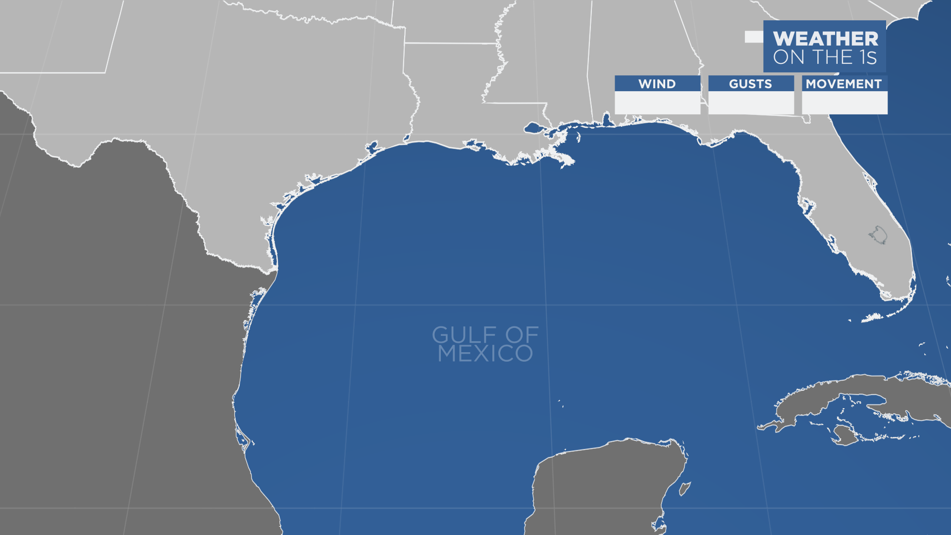
No watches or warnings have been issued in the U.S. yet, but the east coast of Florida, as well as the southeastern coast of the U.S. should pay close attention to the latest updates and information regarding Nicole and its progression as it continues to head west.
Most computer models agree that Nicole will swerve toward the west, crossing over the Bahamas before eventually making landfall along the southeast coast of Florida.
Even though the data becomes a bit more uncertain further out in the forecast, model consensus still shows Nicole changing directions over land, or just off the west coast of Florida, where it will cross back over the state as it heads toward the northeast.
Whether it stays over land or just offshore after that, it appears to travel along the southeastern coast of the U.S.

Spaghetti models or plots show a series of individual computer forecast models together on one map. They are useful to give insight into whether multiple models are in agreement on the path of the storm but they do not address the storm’s forecast intensity, winds, flooding and storm surge potential or other data. Tap here for more details on how to best use these models.
While Nicole remains the only named storm in the Atlantic Basin at the moment, we’re also keeping our eye on another disturbance east of Bermuda.
See how the 2022 Atlantic hurricane season has gone so far.