
ORLANDO, Fla. — Ian remains a major hurricane, producing maximum sustained winds up 115 mph after crossing western Cuba. The Category 3 hurricane will continue to intensify while it heads north through the southeastern Gulf of Mexico on Tuesday.
Ian made landfall just southwest of the town of La Coloma in the Pinar Del Rio providence of Cuba at around 4:30 a.m. EDT.
Strengthening is expected Tuesday and Ian is forecast to remain a major hurricane over the southeastern Gulf of Mexico on Wednesday.
A turn toward the north-northeast along with a further reduction in forward speed is forecast on Wednesday.
Ian is on track to move across the southeastern Gulf of Mexico before passing west of the Florida Keys later Tuesday. It will then approach the west coast of Florida midweek, potentially making landfall late Wednesday night into Thursday.
Watches and Warnings:
A Hurricane Warning is in effect for:
- Cuban provinces of Isla de Juventud, Pinar del Rio and Artemisa
- Bonita Beach to the Anclote River, including Tampa Bay
- Dry Tortugas
A Storm Surge Warning is in effect for:
- Suwanee River southward to Flamingo
- Tampa Bay
- Dry Tortugas
- Marineland to the mouth of the St. Mary’s River
- St. Johns River
A Tropical Storm Warning is in effect for:
- Cuban provinces of La Habana, Mayabeque and Matanzas
- Suwannee River to the Anclote River
- Flamingo to Bonita Beach
- Lower and Middle Florida Keys
- Boca Raton to Altamaha Sound
- Lake Okeechobee
A Storm Surge Watch is in effect for:
- Florida Keys from the Card Sound Bridge westward to Key West
- Florida Bay
- Aucilla River to Suwanee River
- Mouth of St. Mary’s River to South Santee River
- South of Marineland to the Volusia/Flagler County line
A Hurricane Watch is in effect for:
- North of Anclote River to the Suwannee River
- South of Bonita Beach to Chokoloskee
A Tropical Storm Watch is in effect for:
- North of Suwannee River to Indian Pass
- North of Altamaha Sound to South Santee River
- South of Boca Raton to east of Flamingo
- Upper Florida Keys
- Florida Bay

Even though there’s still some uncertainty regarding where Ian will make landfall, most models have shifted Ian’s track farther east. In addition, there also seems to be better agreement on Ian slowing down in terms of its forward speed on Wednesday, which will bring heavy rainfall to central Florida beginning Tuesday night.
Regardless of landfall, impacts with heavy rainfall and strong winds are still expected around our area. Here is the latest on what to expect where you live.
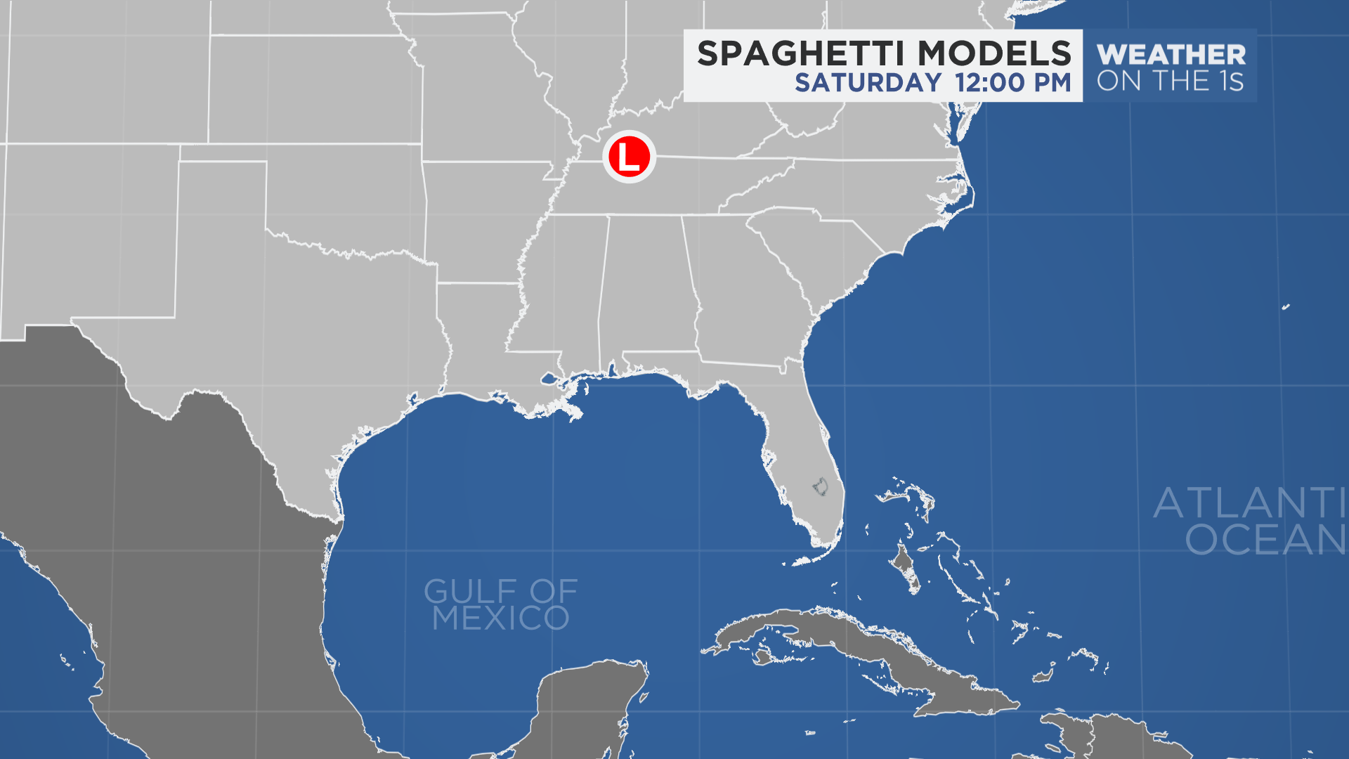
Spaghetti models or plots show a series of individual computer forecast models together on one map. They are useful to give insight into whether multiple models are in agreement on the path of the storm but they do not address the storm’s forecast intensity, winds, flooding and storm surge potential or other data. Tap here for more details on how to best use these models
Some things you can do now is to get your yard cleaned up from loose limbs and foliage. Just make sure whatever you trim and clean-up will be picked up before next week. You may want to fill up the gas tank while you’re out, too.
Piles by the side of the road will prevent water drainage and can cause flooding. You can also go through your hurricane kit and see if you have all the necessary supplies and postpone a major grocery shop so your fridge is not completely full in case power is lost at some point.