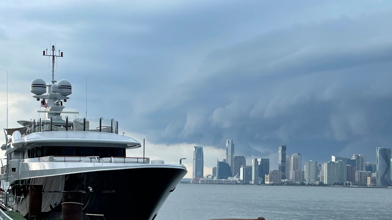
Summertime storms bring ominous skies to most of the country, and quite often, many viewers send us pictures of shelf clouds.
Some describe them as looking like a flying saucer. But, these clouds are quite common all across the country and they’re associated with strong thunderstorms.
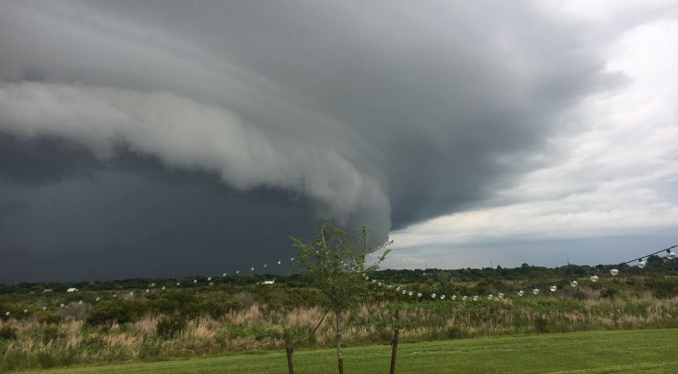
Below is a snapshot of a shelf cloud a Spectrum News viewer sent to us from Central Florida.
You can see the low-hanging, wedge-shaped clouds on the leading edge of a thunderstorm.
They are usually the precursor to heavy rain and strong winds associated with thunderstorms.
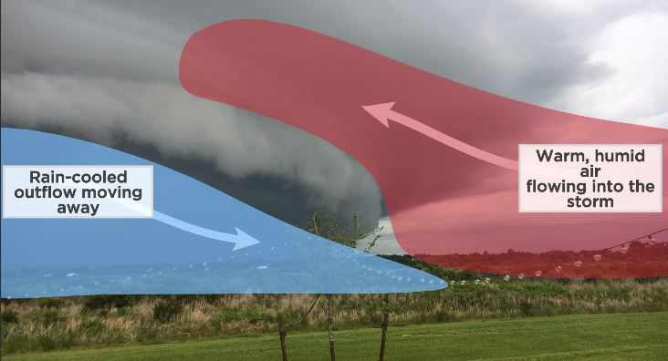
So, how do shelf clouds form?
On the backside of the cloud and storms, cooler air that is heavier and sinking toward the ground helps push warm air upwards ahead of the storm.
The boundary where the rising of warm air ahead of the thunderstorms and the sinking cooler air behind the storms meet is where condensation happens.
This process leads to the shelf cloud that appears on the leading edge of a line of thunderstorms.
These clouds are sometimes confused with wall clouds that often appear with rotating thunderstorms.
A wall cloud is smaller in size compared to a shelf cloud.
Wall clouds generally rotate and are attached to individual thunderstorms that can produce tornadoes.
Shelf clouds are associated with a long line of thunderstorms also known as a squall line, with the main hazard being damaging straight-line winds.
While tornadoes can occur along the same lines of storms that make shelf clouds, they tend to be weak and short-lived.
If you have any weather pictures, we would love to see and share them too. Upload your weather pictures here on the new Spectrum News App.